Wildfires: Updated information on fires, smoke and travel
FIRE UPDATES
SOPFEU web site
The SOPFEU web site contains all the information necessary to prevent forest fires, as well as the current situation (ban on open fires, fire danger, active fires, etc.)
Forest fire information from the government of Québec
The Forest Fire web page on the Québec.ca website provides valuable advice on what to do before, during and after a forest fire.
Québec Ministry of Public Security vigilance map
The multi-risk vigilance map of the Québec Ministry of Public Security provides weather warnings and real-time data from weather radars.
AIR QUALITY (SMOKE)
Air Quality Map
Real-time air quality map from Purple Air
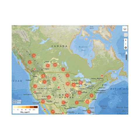
FireSmoke Canada map
High resolution, interactive forecasts of hourly, daily average and daily maximum concentrations of PM2.5 smoke particles at ground level from wildfires.
TRAVEL
Québec 511: Road conditions and closures
Find all the information you need to plan safe and efficient trips: road conditions, roadwork, and road closures.
Explore more
Information on wildfires, evacuations, smoke, and air quality. Updated daily.
Yâkwâmi Fire Info-Line
Get answers to questions about wildfires in Eeyou Istchee or Cree Health Board recommendations to protect your health during the fire season.
The service is available Monday to Friday, 9 am – 5 pm.
Wiichihiiwaauwin (Mental Health) Helpline
Service available 24/7. Cree speakers and Elders are available upon request